The monsoon season has officially begun in parts of Asia, marking the start of a period of enhanced rainfall vital to the region’s economy.
The south-west monsoon begins each year as a consequence of a growing temperature difference between the Asian land mass and the Indian Ocean. Through spring, the land heats up more rapidly than the surrounding sea, creating a pressure difference that draws moisture-laden ocean air inland. Once this contrast reaches a critical point, the humid air pushed over the continent rises, condenses into cloud and unleashes intense rainfall across the region.
This condensation process releases heat back into the atmosphere, reinforcing low pressure over land and drawing in yet more ocean air – a self-sustaining feedback loop that keeps the system going for the duration of the season. The Somali Jet, a powerful low-level wind off the east African coast, supplies it from the south-west, acting as a continuous moisture pipeline across the Arabian Sea into the Indian subcontinent. The monsoon eventually withdraws in autumn as the land cools, weakening the temperature contrast that drives the whole system.
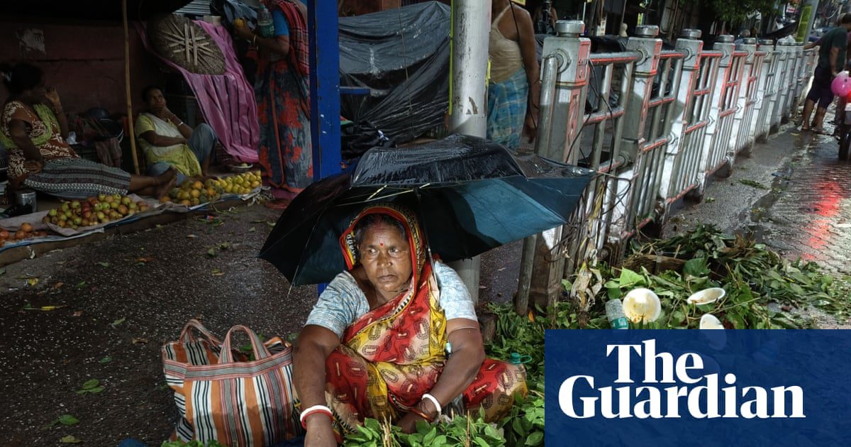
On 4 June, India declared the official onset of its monsoon season in its far south-western Kerala region, three days later than its average starting point of 1 June, with the system since advancing farther north-east into Karnataka and Andhra Pradesh. Stations along the western-facing coast of Kerala recorded up to 280mm (11in) of rain in just 72 hours between 4 and 7 June, roughly equivalent to half of London’s average annual rainfall. Models on Sunday indicated a further 200-250mm for the region this week, with surrounding areas placed under red warnings for extremely heavy rainfall, flash flooding and landslides.
The monsoon onset declaration is vital for agriculture across India, with farmers of rain-fed crops such as rice and cotton needing to plant as early as possible while knowing that the risk of prolonged dry periods has passed.
Farther east, Thailand’s official 2026 monsoon season began on 15 May, since when up to 1,000mm of rain has been recorded locally in the south-west, with a further 300mm possible within the next week. The Thai meteorological department has warned that strong monsoon winds over the Andaman Sea could generate waves of 2–3 metres, advising small vessels to remain ashore.
Despite the intensity of early rainfall, the season as a whole is forecast to be below normal, with the Indian meteorological department projecting rainfall totals between June and September at about 90% of the long-period average, partly due to El Niño conditions expected to develop and strengthen as the season progresses.
Source: https://www.theguardian.com/environment/2026/jun/08/weather-tracker-monsoon-season-vital-rainfall-parts-asia